PL EN DE

Blog

Technical notes on Earth orientation parameters, GNSS data sources and their licensing terms. Things established empirically, with the commands to repeat them.

2026-08-02

Three servers, one identical EOP file — and only one fit for automation

USNO, IERS and NASA CDDIS serve a byte-identical finals2000A.all, yet differ in licence and access. CDDIS answers HEAD with 200 OK and Content-Length: 3758308, while GET on the same URL returns 302 and 434 bytes of a login page. How to check, and how to guard against it.

EOPlicensingUSNOCDDISautomation

Graphics

Visual material describing the service — to view, download and reuse. Everything is drawn from the same data the API serves, and regenerates on every deployment.

Information poster — gnss.day
A tall, scrollable poster — fifteen sections covering the service: five decades of observations, the applications (satellite collision avoidance, deep-space navigation, correction services, orbit regimes), the API, the measurement techniques and the data sources. Every chart comes from the real series of 19,568 daily observations since 2 January 1973.
poster.png · 1600 × 11386 · open full size →
Service card — gnss.day
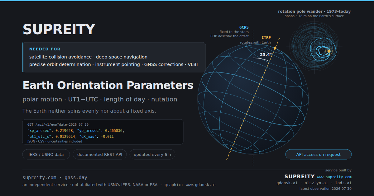
The link preview card — the Earth with two reference frames: the rotation axis tied to the planet (ITRF) and the inertial axis, fixed to the stars (GCRS). The angle between them is precisely what Earth orientation parameters describe. The inset shows polar motion since 1973; the panel, a real API response for the latest observed epoch.
og.png · 1200 × 630 · open full size →

The graphics may be reused with attribution. Each one carries its source mark.